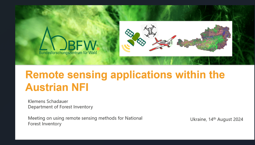
In recent months, the SFI-Project organized a series of events aimed at exchanging information about National Forest Inventories (NFI) and exploring potential options for Ukraine. On August 14, 2024, NFI expert Klemens Schadauer from the Austrian Research Centre for Forests (BFW) was invited to share Austria’s experiences with remote sensing technologies in the context of NFI. The event saw participation from around 35 NFI and remote sensing experts, as well as specialized national and international organizations.
Viktor Myroniuk from the National University of Life and Environmental Sciences (NUBiP) of Ukraine, a key SFI-Expert, presented an overview of the “Remote Sensing-based Forest Inventory 2023 in Ukraine.” He highlighted the shift to remote sensing technologies due to the war in Ukraine, which necessitated a departure from the originally planned NFI. Results from the RS-Inventory for 2019 and 2023 have been published, and the analysis of changes in forest attributes is ongoing.
Klemens Schadauer then presented “Remote Sensing Applications within the Austrian NFI.” He provided an overview of the NFI and detailed the variety of remote sensing technologies used in Austria, including LIDAR, optical, and radar sensors, as well as platforms such as drones, airplanes, and satellites.
Freely available satellite data in combination with terrestrial reference data are a cost-effective basis for large-scale forest inventories at national level and mapping of forest attributes. Remote sensing can effectively support and complement an NFI, but cannot completely replace terrestrial data collection. Satellite data is also used for detection of significant forest damage, e.g. after heavy storm, forest fires, or insect infestations. Although statistical evidence may not be conclusive, such information is crucial for policy decision-makers, especially for implementation of urgent large scale forestry measures.
In Austria, as planned in Ukraine, NFI results are also used for modelling potential timber supply, aiding in the strategic decision making of forestry and investments in the timber processing industry.
During the discussion, Volker Sasse, SFI-Project leader, emphasized the differences between Ukraine and Austria, such as financial support for NFI and accessibility of forest. However, he noted that the scientific approaches to remote sensing-based NFI support are quite similar.
Marjukka Porvari, Senior expert of EU-DG for Neighbourhood and Enlargement Negotiations (NEAR) pointed to the need in reliable science-based data and inventories to provide sound justification for environmentally sustainable potentials in Ukrainian timber supply. She mentioned that in the Ukraine Plan, adopted by Cabinet of Ministers of Ukraine, being the basis for EU’s support to Ukraine, cuttings are planned to be increased by 70% during coming ten years, which would lead to an increase of 10 million m3 timber per year.
The further discussion also addressed the coexistence of legal and scientific definitions of forests, acknowledging that both have their specific purposes.
Presentation Overview on the Remote Sensing-based Forest Inventory 2023 in Ukraine
Presentation Remote sensing applications within the Austrian NFI

