During NFI implementation in Ukraine, two systems for data collection are currently used in parallel – the self-developed “Small Forest” and the commercial “Field Map” by IFER. For reasons of efficiency, a unified solution is required. In Ireland, Field Map has been used for the NFI since 2004.
Against this background an online event on “Using “Field Map” for National Forest Inventories – experiences in Ireland for a successful implementation in Ukraine” was organised by SFI-Project on 29.11.2023, where Ukrainian NFI experts had the opportunity to present their challenges and to get information about the successful use of Field Map in Irland.
Andriy Shamrai, Head of Centre of National Forest Inventory of Ukrainian State Forest Management Planning Association gave a “Short overview of NFI in Ukraine and experiences with Field-Map”. One of the most important challenges is the lack of sufficient state financing, while SFI-project supported NFI development to a certain extent, e.g. with the procurement of six Field Map software tools for data gathering and data processing. Shamrai pointed to various challenges during the implementation of Field Map in Ukraine, late procurement and training of field teams, undecided responsibilities on data management, specifics in Ukrainian NFI methodology, e.g. the different equipment for measuring distances and compasses as well, as uncertainties with regard to control re-measurements, segmented plots processing, and as consequence miscommunication with the developer IFER as well as unsolved issues related to data processing with the Field Map hard and software system.
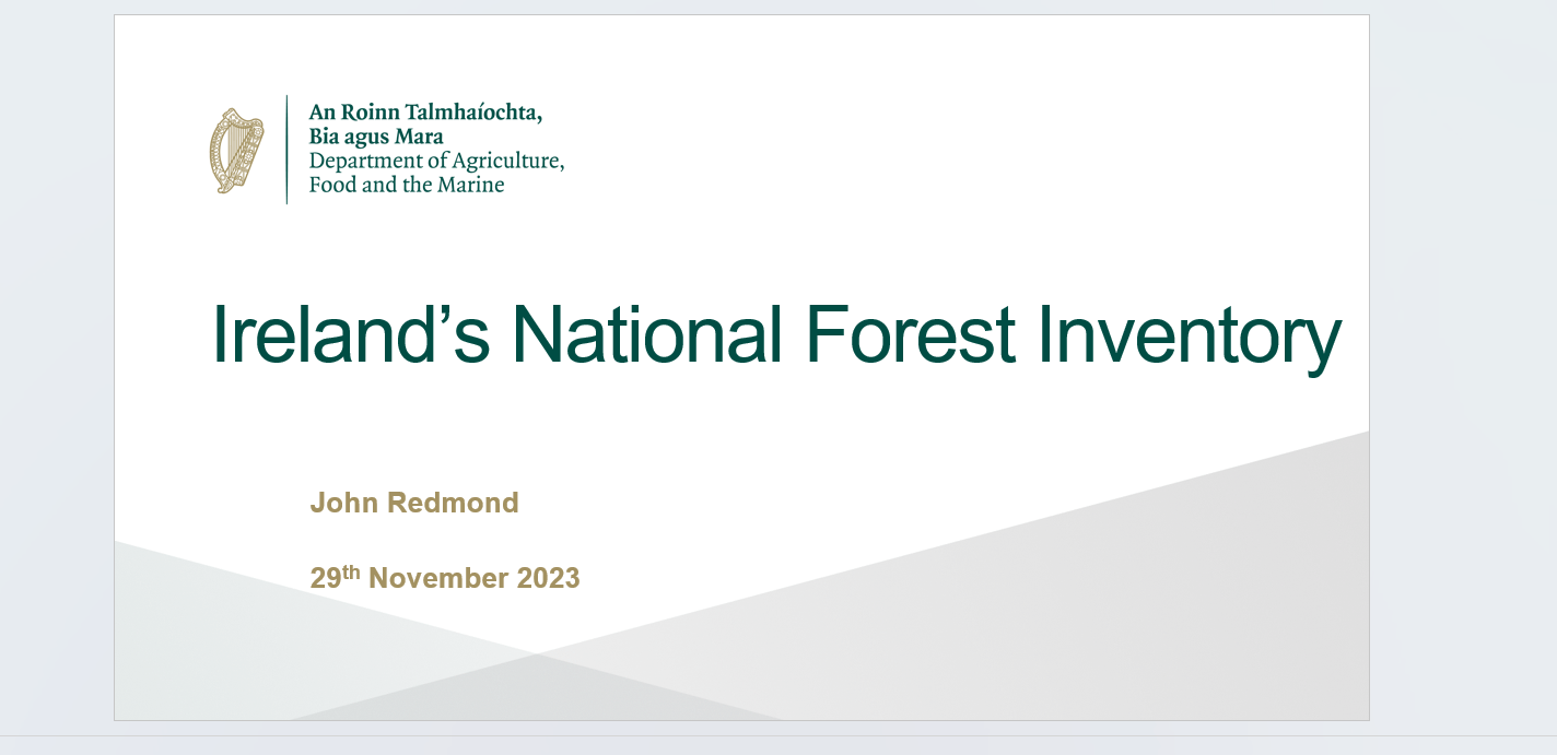
Afterwards, John Redmond, Forest Sector Development Division, Department of Agriculture, Food and the Marine of Irland presented experiences in “Using Field Map for NFI in Ireland – data collection, data management, data evaluation and presentation of results”. He pointed to European National Forest Inventory Network (ENFIN), which serves as a European network to promote NFIs. He underlined the important role of IFER in the NFI in Irland on whole cycle from NFI design and methodology up to data analysis and output presentation. Redmond said: “Field-Map software and expertise provided by IFER has contributed significantly to the success of Ireland’s NFI.” He also shared positive experiences in the use of laser based equipment for measuring of distances and heights.
In his summary Redmond pointed to the opportunity to present robust information for national state forest policy and commercial investment decision making as well as to provide input to international processes such a Forest Europe and the FAO Global Forest Assessment.
During further discussion Ukrainian specialists showed their interest in successful implementation of four NFI cycles in Ireland, by means of Field Map.The participants underlined the usefulness of such an exchange of expert knowledge. Volker Sasse, Leader of SFI-Project, summarized: “Efficient use of Field Map for NFI purposes is possible also in Ukraine. It requires sufficient state financing and an implementation as a whole, means in all complexity of this advanced system for data gathering processing, analysis and presentation of results. SFI-Project will explore opportunities for Field Map implementation during a planned “Concept on the future development of NFI in Ukraine”. Sasse further proposed a deeper exchange on NFI and Field Map in particular, during a kind of a practicum for Ukrainian experts in Ireland.
Presentation Ireland’s National Forest Inventory
Presentation Short overview of NFI in Ukraine and experiences with Field-Map


